
Geomatics Engineering in Turkey at a glance
Geomatics Engineering in Turkey, also called Map or Surveying Engineering, is a four-year engineering bachelor’s about measuring the earth, turning the data into maps and 3D models, and managing land and property information. Istanbul Okan University teaches it in English at $5 000 a year for 2026–27 ($4 750 if paid in advance), and runs Turkish-taught master’s programmes from $3 500 for the whole course.
- Length: four years, plus an English preparatory year if needed.
- Core: surveying and geodesy, GNSS positioning, photogrammetry, remote sensing, geographic information systems (GIS), cadastre and land management.
- Okan’s angle: the department links the degree to land management, urban transformation, real-estate valuation and infrastructure surveying.
- Entry: strong mathematics and physics, an accepted English score or a preparatory year, and school grades, SAT or YÖS depending on the university.
What the curriculum covers
The first year is shared with other engineering degrees. From the second year the course moves into measurement, data processing and spatial analysis, with fieldwork camps where students survey real sites. A typical sequence:
- Calculus and linear algebra
- Physics
- Introduction to geomatics
- Programming basics
- Surveying I–II with field practice
- Adjustment computation and statistics
- Cartography
- Geodesy fundamentals
- Photogrammetry
- Remote sensing and image processing
- Geographic information systems
- GNSS and satellite positioning
- Cadastre and land management
- Real-estate valuation and zoning
- Engineering and mining surveying
- Graduation project
Okan describes the profession as covering land management and zoning implementation, engineering and mining surveys for tunnels, motorways and bridges, 3D modelling of the earth’s surface, photogrammetry and remote sensing, all integrated through GIS.
Entry requirements for international applicants
- School certificate with good mathematics and physics. Holders of an 11-year certificate should check engineering eligibility with the university before applying.
- Exams. Private universities admit international students on school grades, SAT or YÖS results. The 2026 TR-YÖS/1 sitting was on 12 April 2026.
- English. Submit an accepted English certificate or start with the preparatory year, which Okan prices at $3 000 for 2026–27.
- Master’s. Okan’s Geomatics Engineering master’s is taught in Turkish; its Turkish preparation year (TÖMER) costs $2 000 for 2026–27.
- After admission: diploma equivalence from the Ministry of National Education and a student residence permit.
What to check before choosing
- Accreditation. MÜDEK accredits engineering programmes in Turkey and is a Washington Accord signatory. Ask for the department’s current status if you plan to work abroad.
- Equipment. Look for total stations, GNSS receivers, drones for photogrammetry, laser scanners and GIS software licences available to undergraduates.
- Field camps. Ask how many summer surveying camps and internships are compulsory and whether the university arranges them for international students.
- Graduate options. Okan also runs an Urban Transformation master’s and a Land Management and Utilisation PhD, which suit students aiming at planning or property careers.
Careers and professional practice
Geomatics engineers work in land registry and cadastre projects, construction and infrastructure surveying, mining, municipal planning, GIS analysis, drone and satellite mapping, real-estate valuation and utilities. Growing fields include 3D city models, digital twins and remote-sensing analytics for agriculture and disaster response.
In Turkey, surveying engineers are organised in the Chamber of Survey and Cadastre Engineers within TMMOB, and cadastral and licensed surveying work has its own authorisation rules. Foreign graduates need a work permit and should check which activities require local licensing. Abroad, licensed or chartered surveyor titles are granted by national professional bodies, often after supervised experience.
Who this degree suits
A good fit if you…
- like mathematics, maps and working with spatial data;
- enjoy mixing office analysis with outdoor fieldwork;
- want an English-taught engineering degree at a moderate price.
Think twice if you…
- prefer purely desk-based software work;
- dislike fieldwork in all weather;
- want a large choice of English-taught universities for this subject.
Universities offering Geomatics Engineering
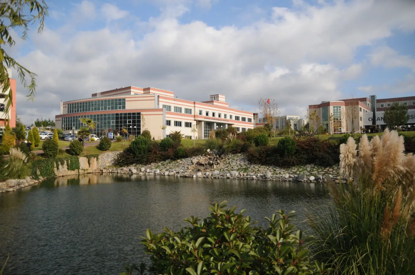
Istanbul Okan University teaches the bachelor’s in English and the master’s in Turkish.
| University | Degree | Language | Tuition |
|---|---|---|---|
| Okan University | Bachelor | English | $5 000/yr · fee source (2026–27) |
| Okan University (thesis) | Master | Turkish | $4 500 whole programme · fee source (2026–27) |
| Okan University (non-thesis) | Master | Turkish | $3 500 whole programme · fee source (2026–27) |
Fees are the universities’ own list prices, checked on 29 September 2026. “On request” means the university publishes no fee with a 2026–27 label; ask it for a written quote.
Budgeting for 2026–27
Okan’s 2026–27 list charges $5 000 a year for Geomatics Engineering, or $4 750 with the 5% advance-payment discount, plus $3 000 if you need the English preparation year. Its Turkish-taught master’s costs $4 500 for the whole thesis programme and $3 500 without a thesis. Budget also for field-camp travel and a laptop that runs GIS and photogrammetry software, alongside housing, health insurance and the residence permit.
Common questions
Yes, at Istanbul Okan University for the bachelor’s degree. Its master’s is taught in Turkish.
Okan lists $5 000 a year, or $4 750 if you pay the year in advance.
No. Civil engineers design structures; geomatics engineers measure land, produce maps and spatial data, and manage property and land information that civil projects rely on.
Expect GIS, photogrammetry and remote-sensing packages plus programming for data processing. Ask the department which licences students can use.
You need a work permit, and licensed cadastral work has its own authorisation rules, so check with the Chamber of Survey and Cadastre Engineers before relying on it.
Yes. Okan offers a Turkish-taught Geomatics Engineering master’s, with or without thesis, and related urban-transformation and land-management programmes.
Planning to study geomatics engineering in Turkey?
A personal strategy, requirement checks, selection of agreed options, document preparation, applications, and support are provided under an agreement with StudyU. The university decides admission, the migration authority decides the residence permit, and professional bodies decide surveying licences.
Official sources
- YÖK Atlas: official program catalogue — program availability, institution and stated language of instruction. International quotas and tuition require the university's own current source.
- YÖK: official international-student information — the official university search route and general international-student guidance. The chosen university still owns its admission requirements.
- ÖSYM: official TR-YÖS exam (2026) — the official calendar and application route for TR-YÖS/1 in 2026. Each university publishes whether the result is required for the selected program.
Also checked on 29 September 2026 on the institutions’ own sites:
- Istanbul Okan University: Geomatics Engineering department (okan.edu.tr) — scope of the profession and related graduate programmes.
- Istanbul Okan University: 2026–27 tuition fees (study.okan.edu.tr) — annual bachelor’s fees, whole-study master’s fees, English and Turkish preparation-year fees.
- TMMOB: Chamber of Survey and Cadastre Engineers (Turkish) (tmmob.org.tr) — the professional chamber for surveying engineers in Turkey.
- YÖKAK: accreditation agencies with active registration (yokak.gov.tr) — which national programme accreditors are currently registered.
- MÜDEK: Washington Accord membership (mudek.org.tr) — MÜDEK accredits engineering programmes in Turkey and is a Washington Accord signatory authorised to award the EUR-ACE label.
All fees are published in US dollars, so no currency conversion was applied. Confirm language, curriculum, quota and tuition with the university for your intake before paying.
Updated:
